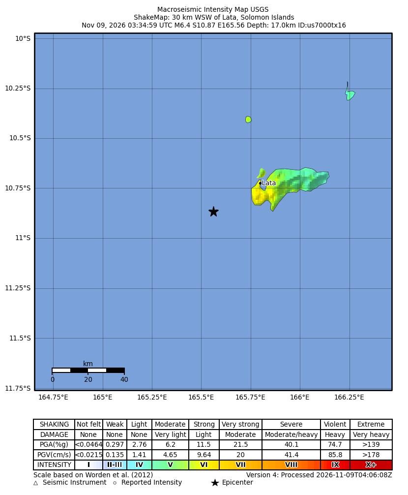
Magnitude 6.4 earthquake strikes near Lata, Solomon Islands, USGS says
A magnitude 6.4 earthquake struck 27 kilometers southwest of Lata, Solomon Islands, at 03:35 UTC on Nov. 9, 2026, according to the U.S. Geological Survey (USGS). The agency’s status for the event is “reviewed.”
The USGS put the quake’s depth at about 25 kilometers. It gave the location as latitude -10.8963 and longitude 165.6176. The event page is listed under the identifier us7000tx16.
The summary did not say whether the quake caused damage, injuries or deaths. It also did not say whether people felt shaking in Lata or elsewhere, and it did not report any aftershocks.
The USGS listed the tsunami flag for this event as “no.” The agency explained that the flag only marks whether the quake took place in an area where tsunami information gets issued. The flag does not indicate whether a tsunami actually occurred, the USGS said. The summary did not describe any tsunami messages or warnings for the Solomon Islands or nearby areas.
The USGS summary also refers to its PAGER alert level, which is the agency’s estimate of an earthquake’s potential impact. The levels run from green to yellow, orange and red. The summary did not give a PAGER level for this quake, so the potential impact is not stated in the source.