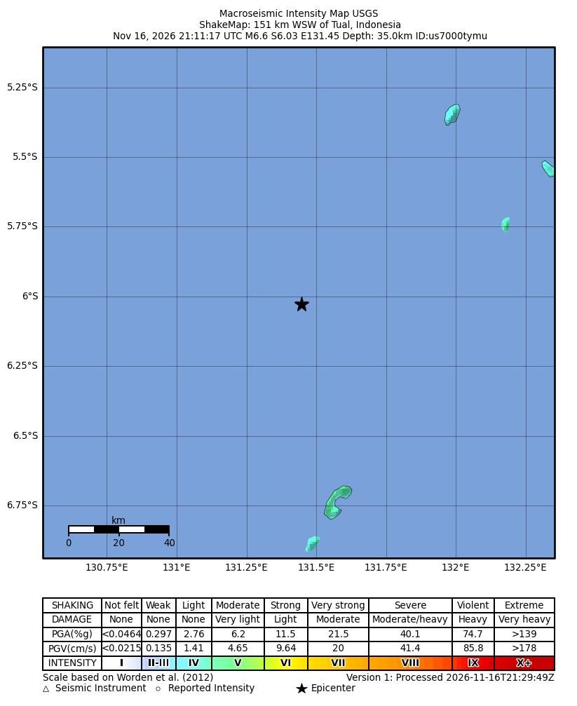
Estimated shaking intensity for the magnitude 6.6 earthquake, 151 km WSW of Tual, Indonesia, from the USGS ShakeMap. Colors show the strength of shaking, from weak (blue) to violent (red). Map: U.S. Geological Survey
The U.S. Geological Survey reported a magnitude 6.6 earthquake 151 kilometers west-southwest of Tual, Indonesia, at 21:11 UTC on Nov. 16, 2026.
USGS put the depth at 35 kilometers. The coordinates were latitude -6.0288 and longitude 131.4461. The agency listed the event status as reviewed.
USGS earthquake data
Detail
Figure
Magnitude
6.6
Time (UTC)
21:11, Nov. 16, 2026
Depth
35 km
Location
151 km WSW of Tual, Indonesia
Latitude
-6.0288
Longitude
131.4461
Tsunami flag
no
Status
reviewed
Source: U.S. Geological Survey.
The USGS listed the tsunami flag as “no”. The agency said the tsunami flag only shows if the area is one where tsunami advisories are provided and does not mean a tsunami occurred. The summary did not state any reports of damage or injuries.
The summary explained that the USGS PAGER alert level is an estimate of potential impact, using green, yellow, orange or red. It did not include a PAGER level for this event.